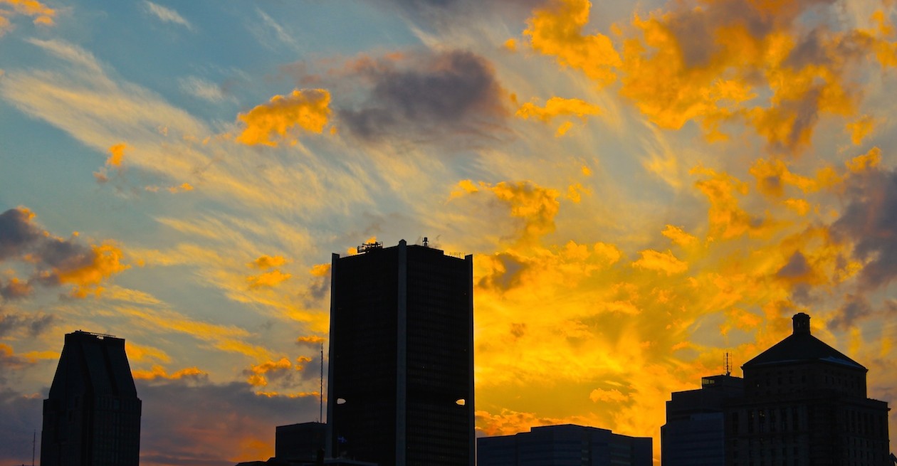
This is the PNB-Paribas building on McGill College at the corner of Boulevard de Maisonneuve. It, along with almost all the other major developments on this avenue, is the product of a major urban renovation project initiated by the city with Vincent Ponte having worked on some master-plans back when he was designing the multi-level systems of Place Bonaventure and Place Ville-Marie. The avenue was widened into its present form, with a total of six new tall buildings, not to mention the Eaton Centre, constructed between 1976 and 1992, with the majority of construction occurring between 1980 and 1988. This was one of the primary urban redevelopment projects of the late-Drapeau years, and it created an entirely new focal point for the city, not to mention creating an awesome vista and monumental avenue, visually linking the Mountain, the Cross, McGill and Place Ville-Marie.
The re-development of McGill College Avenue itself spawns from two other re-development projects, including the “Place du Centre” development project of the early-mid 1970s. As Drapeau described it, it was Montréal’s ‘second-phase’ of urban renewal, and as we can see here, the sector extending east from McGill College over Boul. de Maisonneuve until about Union was still raw and exposed from when the Métro was carved through in the early 1960s. Hard to imagine this area was, a mere forty years ago, barren, open – yet another open trench on a cityscape that was once badly scarred in the name of urban renewal. I never really knew the city in this respect, but the demolitions and excavations necessary to complete these projects had at one point led to a generally chaotic feel in the city, in addition to a profound awareness of the multi-lateral nature of the city. Moreover, these specific projects would’ve contributed to a far from homogeneous urban fabric, and the removal of these gashes, or should I say there slow erasing, will provide the city with endless make-work projects.
1. The Ville-Marie Expressway divided Montréal’s West End from the ‘city below the hill’ when it was constructed in the late-60’s and early-70’s. Far more divisive than the raised highway further west was the tunnel and open trench system beginning around Rue de la Montagne. Until the early part of the last decade, the open trench cut Beaver Hall Hill off from Square Victoria. The International Quarter, completed between 2000 and 2003, largely addressed this issue.
2. Boul. de Maisonneuve was essentially carved out at the same time the Métro was constructed, as they effectively follow the same trajectory from Place-des-Arts to Atwater. Not only did it connect several different streets, it also created this architectural oddity:

3. The grand-daddy of them all was the open trench from Cathcart to René-Lévesque, atop which Place Ville-Marie was built. For over fifty years city politicians, CN and various real-estate developers argued over what could be done to re-connect this space with the city around it. The end-result: perhaps the defining focal point of our city, and the epicenter of the Underground City.
4. The Decarie Expressway is likely the next main thoroughfare slated for a major renewal effort, as it cuts the West End suburbs from the city core and has made the space through which it passes unfortunately utilitarian. In other words, it could be spruced up, and I for one have always thought a massive linear park would cause area real-estate value to rise significantly.
More on this issue later…


